At this point in my recovery, motivation is a good thing. Complications from Swine Flu last October kept me off the bike until this past March, and even then my mileage totals were lame:
- March: 18.77 miles
- April: 10.90 miles
- May: 26.36 miles
- June: 81.30 miles
- July: 49.98 miles
- August: 176.88
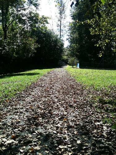
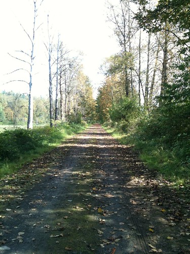
Today I decided to put the 26" mountain knobbies on the bike and ride the Snoqualmie Valley Trail, starting at the trail's northernmost trail head in Duvall.
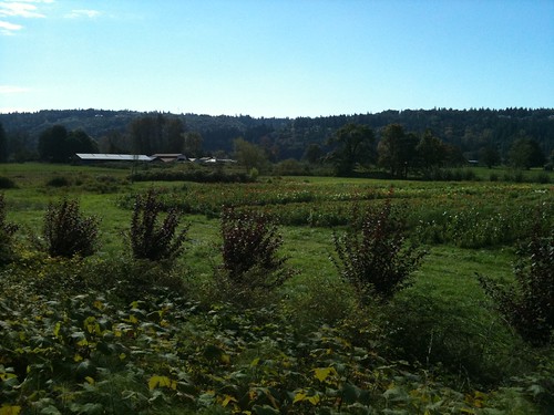
It was a perfect day for a bike ride: sunny with gorgeous puffy white clouds, little wind, and temperatures in the low 60's.
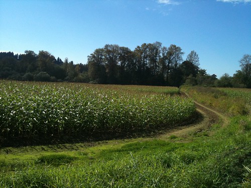
I wanted to ride at least as far as Snoqualmie Falls, ~20 miles each way. It's a gentle slope, but 20 miles of gravel and climbing does take its toll.
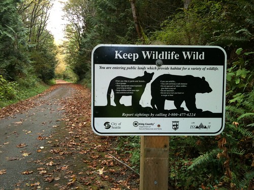
I like taking photos of unusual signs while riding. I spotted this sign near Carnation, WA.
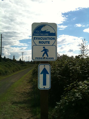
I don't know where the Tolt Dam is, but the Tolt River runs through Carnation.
The Tolt River is rather infamous as a "flooding barometer" for this area. During times of heavy rain or rapid snow melt, the Tolt River is always one of the first to flood. Since the Tolt dumps directly into the Snoqualmie River, the flooding cascades.
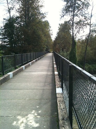
Another cool sign spotted near Fall City:
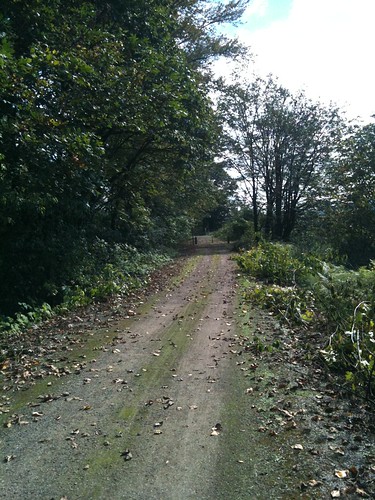
Near Snoqualmie Falls is the Tokul Tunnel.
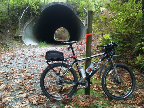
The tunnel goes under SE Tokul Road, and I needed to go right (south). Route choices at this point are:
- Stairs to the left of the tunnel.
- Steep and rocky trail to the right of the tunnel.
- Proceed through the tunnel for a few hundred yards, then take a small trail to the left, connect with SE 60th Street, then left on SE Tokul Road.
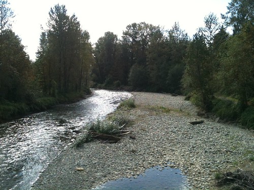
Finally, after ~20 miles (and ~2 hours at my leisurely pace) I reached the falls.
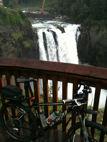
I was worried about running out of daylight, so I didn't spent long at the falls. After I took some photos, filled my water bottles, ate a Snickers, and hit the men's room, it was time to head back.
Thankfully, it was mostly downhill all the way back to Duvall.
Statistics:
- Distance: 40.34 miles
- Average Speed: 10.9 MPH
- Calories Burned: 3251
2 comments:
WAY TO GO!
that rampup is impressive. i see the bike is fendered, so no reason to see a taper this winter is there?
secret - im always tempted to steal one of those evacutation route signs..shhhhh
Thanks, Matt!
Getting back into biking has been a much longer process than I ever imagined. It feels great to be back in the saddle.
Post a Comment